Share
Observed and Forecast Flood-Inundation Mapping Application: A Pilot Study of an Eleven-Mile Reach of the White River, Indianapolis, Indiana
U. S. Department Of The Interior (Author)
·
Createspace Independent Publishing Platform
· Paperback
Observed and Forecast Flood-Inundation Mapping Application: A Pilot Study of an Eleven-Mile Reach of the White River, Indianapolis, Indiana - U. S. Department of the Interior
Choose the list to add your product or create one New List
✓ Product added successfully to the Wishlist.
Go to My Wishlists
Origin: U.S.A.
(Import costs included in the price)
It will be shipped from our warehouse between
Thursday, July 18 and
Thursday, July 25.
You will receive it anywhere in United Kingdom between 1 and 3 business days after shipment.
Synopsis "Observed and Forecast Flood-Inundation Mapping Application: A Pilot Study of an Eleven-Mile Reach of the White River, Indianapolis, Indiana"
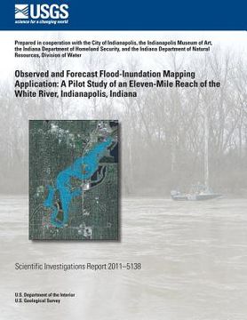
Near-real-time and forecast flood-inundation mapping products resulted from a pilot study for an 11-mile reach of the White River in Indianapolis. The study was done by the U.S. Geological Survey (USGS), Indiana Silver Jackets hazard mitigation taskforce members, the National Weather Service (NWS), the Polis Center, and Indiana University, in coopera-tion with the City of Indianapolis, the Indianapolis Museum of Art, the Indiana Department of Homeland Security, and the Indiana Department of Natural Resources, Division of Water. The pilot project showed that it is technically feasible to create a flood-inundation map library by means of a two-dimensional hydraulic model, use a map from the library to quickly complete a moderately detailed local flood-loss estimate, and automatically run the hydraulic model during a flood event to provide the maps and flood-damage information through a Web graphical user interface.

