Share
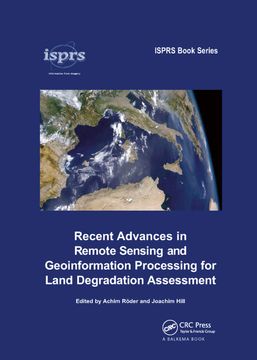
Recent Advances in Remote Sensing and Geoinformation Processing for Land Degradation Assessment
Achim Roeder (Editor), Joachim Hill (Editor) (Author)
·
Crc Pr Inc
· Paperback
Recent Advances in Remote Sensing and Geoinformation Processing for Land Degradation Assessment - Achim Roeder (Editor), Joachim Hill (Editor)
£ 55.79
£ 61.99
You save: £ 6.20
Choose the list to add your product or create one New List
✓ Product added successfully to the Wishlist.
Go to My WishlistsIt will be shipped from our warehouse between
Thursday, August 08 and
Monday, August 12.
You will receive it anywhere in United Kingdom between 1 and 3 business days after shipment.
Synopsis "Recent Advances in Remote Sensing and Geoinformation Processing for Land Degradation Assessment"
Land degradation and desertification are amongst the most severe threats to human welfare and the environment, as they affect the livelihoods of some 2 billion people in the world's drylands, and they are directly connected to pressing global environmental problems, such as the loss of biological diversity or global climate change. Strategies to combat these processes and mitigate their effects at the land-management and policy level require spatially explicit, up-to-date information, which can be provided based on remote sensing data and using geoinformation processing techniques.Recent Advances in Remote Sensing and Geoinformation Processing for Land Degradation Assessment introduces the current state of the art in this field and provides an overview of both conceptual and technological advances of the recent past. With a specific focus on desertification and land degradation, the volume covers the assessment of related biophysical indicators, as well as complementary qualitative information at different spatial and temporal scales. It is shown how remote sensing data may be utilized in the context of assessing and monitoring affected ecosystems and how this information may be assimilated into integrated interpretation and modelling concepts. In addition, different case studies are provided to demonstrate the implementation of these methods in the frame of different local settings.The volume will be of interest to scientists and students working at the interface of ecosystem services, land degradation/desertification, spatial ecology, remote sensing and spatial modelling, as well as to land managers and policy makers.
- 0% (0)
- 0% (0)
- 0% (0)
- 0% (0)
- 0% (0)
All books in our catalog are Original.
The book is written in English.
The binding of this edition is Paperback.
✓ Producto agregado correctamente al carro, Ir a Pagar.

